MoRPh
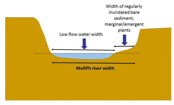
MoRPh is a tool for monitoring the detailed physical character and condition of short lengths of river channels and their margins. The MoRPh survey forms part of a modular approach to monitoring the physical character of rivers and how they change through time and across space. Indicators derived from MoRPh surveys describe different properties of the river’s physical habitat mosaic, an important control on the organisms that may live in the monitored river reach
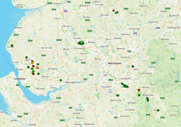
Mersey Rivers Trust MoRPh map
Press on the map to be able to interact with a live map.
MoRPh Surveys
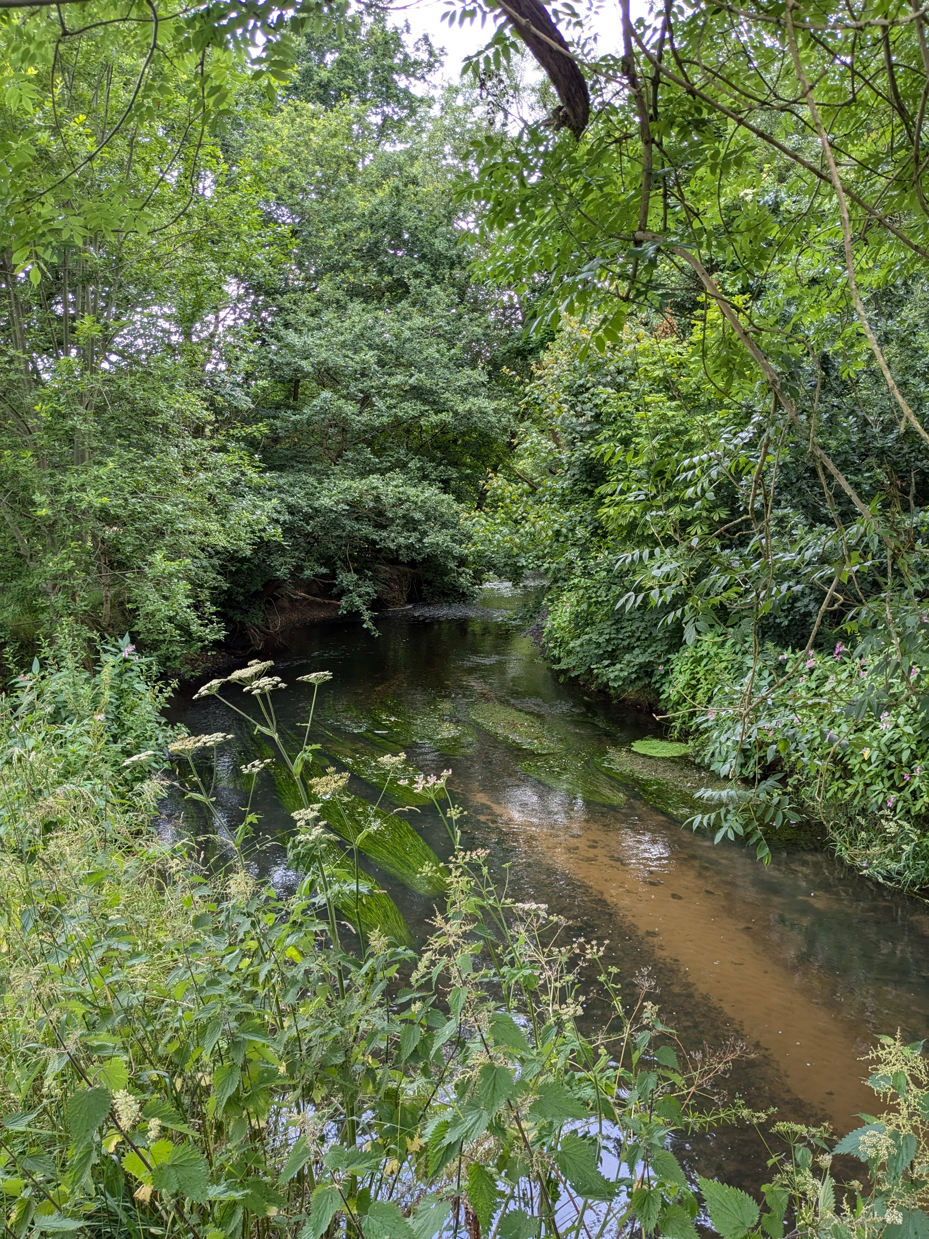
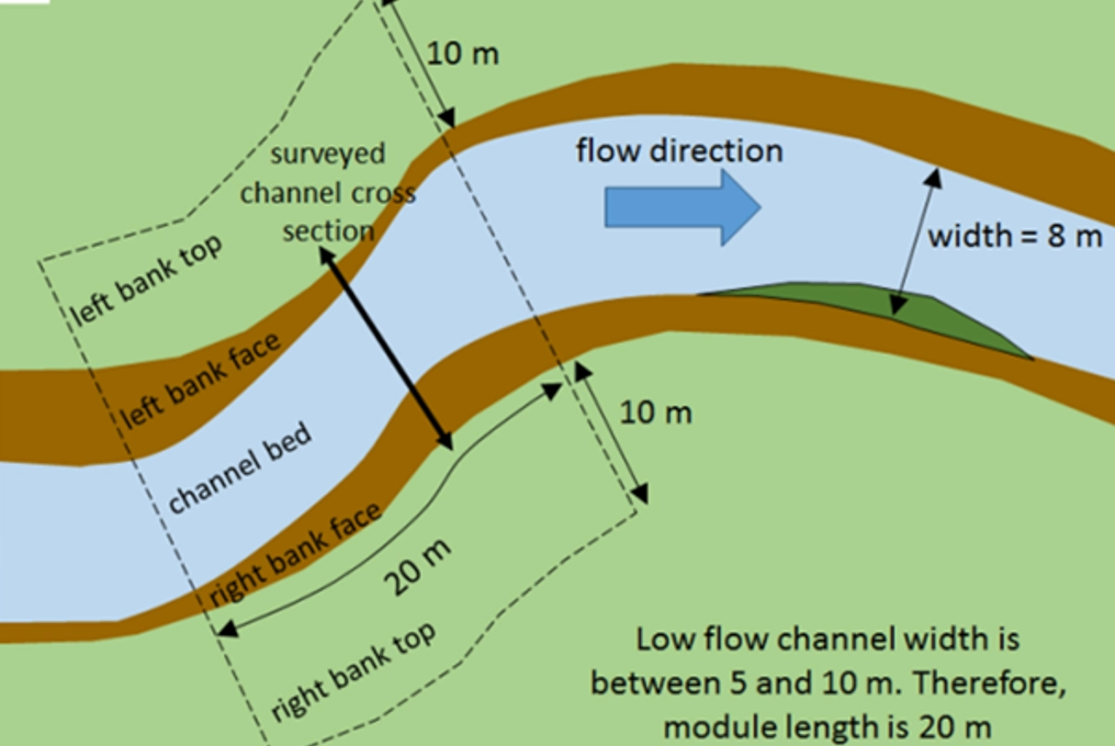
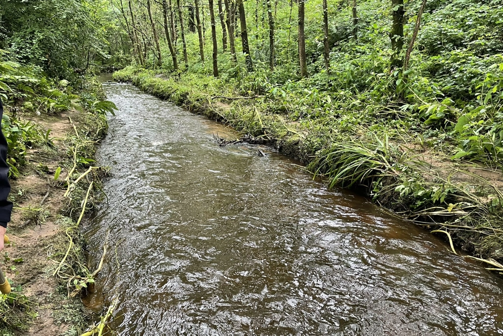
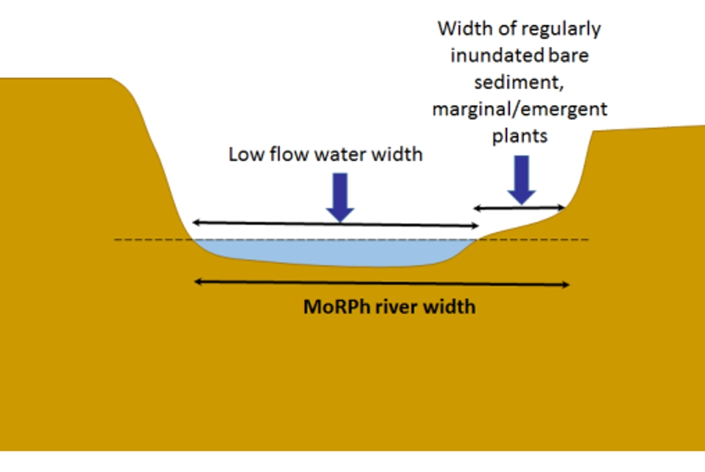
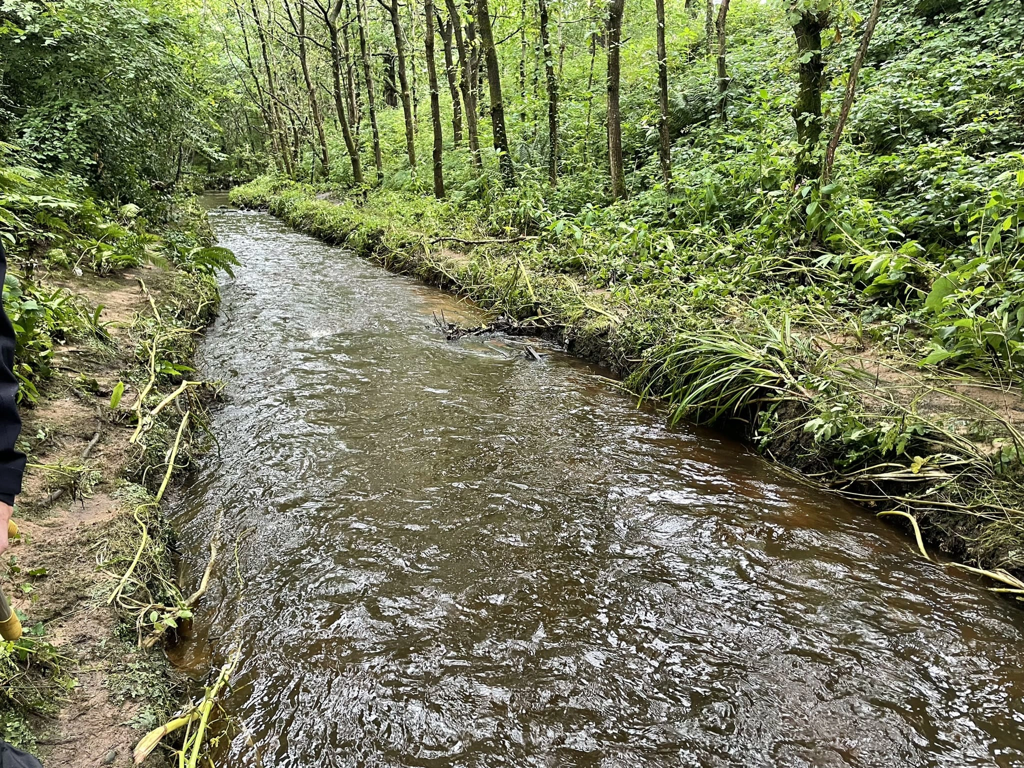
The survey records sediments, physical habitats, vegetation structure and human pressures and interventions across the bank tops, bank faces and bed of short river lengths called modules. MoRPh surveys should be undertaken during low flows to ensure good visibility of the recorded features. In addition to perennially-flowing rivers, the survey can be applied to seasonally wetted or temporary headwater streams. It is ideal for monitoring the detailed form and functioning of rivers and streams and how these change in response to natural processes or human interventions.
...
....
...
...

History of MoRPh
The MoRPh rivers survey was developed in 2016 to provide a physical habitat survey at an appropriate scale to accompany biological monitoring, allowing habitat and biota to be monitored simultaneously and at the same spatial scale.
Since 2015, the survey has been used to capture detailed physical habitat information to characterise river condition, identify opportunities for river restoration, and track changes over time, whether in response to changing natural flow and sediment transport processes or to human interventions, especially river restoration measures.
From 2018, the survey was incorporated into a River Condition Assessment methodology, which forms part of Defra’s Biodiversity Metric.
MoRPh Partners