![]()
The Government introduced the Catchment-Based Approach (CaBA) for managing the water environment across all areas of England to facilitate more integrated water management.
Government policy has established catchment partnerships throughout England that work collaboratively with local stakeholders. The primary aims of these partnerships are to jointly deliver improved water quality and river ecology through River Basin Management Plans as well as to reduce flood risk.
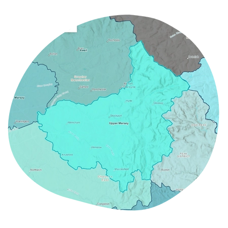
Catchment Partnerships of the Mersey Basin

Mersey Rivers Trust hosts three of the catchment partnerships: Alt/Crossens, Lower Mersey and Upper Mersey.
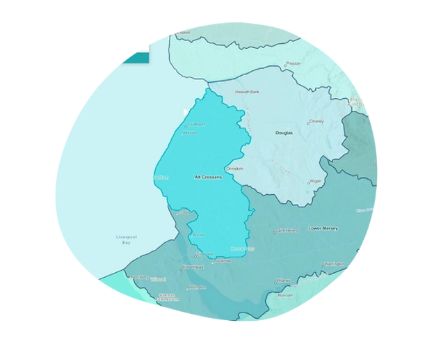
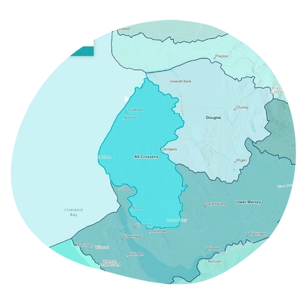
Alt/Crossens
The Alt/Crossens covers the two small water catchments of the Rivers Alt and Crossens that flow out to sea just north of the Mersey. The catchment is an area of low-lying land between the Mersey and Ribble Estuaries. Approximately 30% of the catchment is made up of urban areas, which includes North Liverpool, Formby and Southport along the coast and Kirkby, Maghull and Ormskirk inland. A large area of the catchment is made up of high-grade farmland which is crossed by a series of highly modified watercourses and drainage channels. The water levels are controlled by 13 pumping stations and the catchments drain out into Liverpool Bay and the Ribble Estuary.
The watercourses in the Alt/Crossens catchment have classifications that fall between good status and bad status, however the good status water bodies make up only 3%, the remaining 97% are failing to achieve good status.
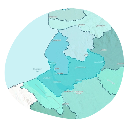
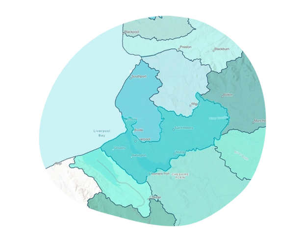
Lower Mersey
The Lower Mersey catchment covers the lower section of the freshwater River Mersey as it flows from the Upper Mersey to the Mersey Estuary at Warrington. This includes the Glaze Brook catchment flowing through Wigan and Warrington.
The Mersey Estuary catchment area component of the Lower Mersey covers the Wirral peninsular to the south of the River Mersey and from the tidal limit at Warrington to Liverpool to the north of the River Mersey. The Mersey Estuary catchment includes the operational sub-catchments of Ditton Brook, Sankey Brook and the Wirral rivers that flow into the Mersey Estuary.
The Lower Mersey catchment also includes the lower (estuary-fed) section of the Manchester Ship Canal from Warrington to Eastham on the south bank of the Mersey Estuary.
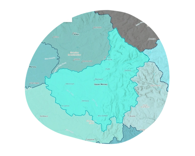
Upper Mersey
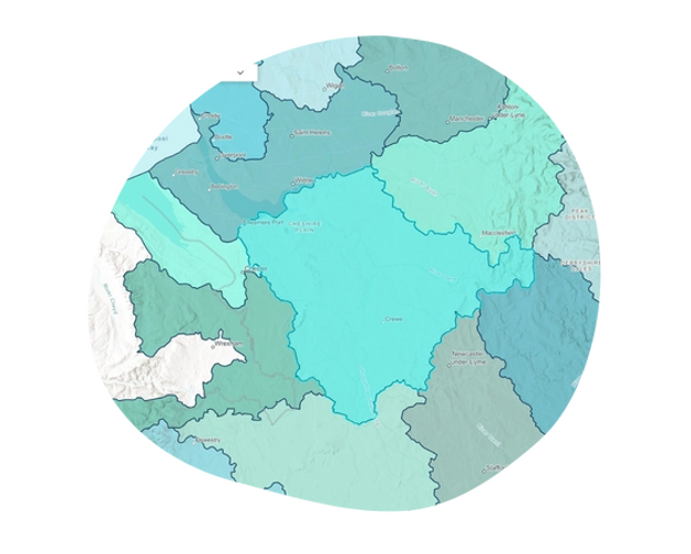
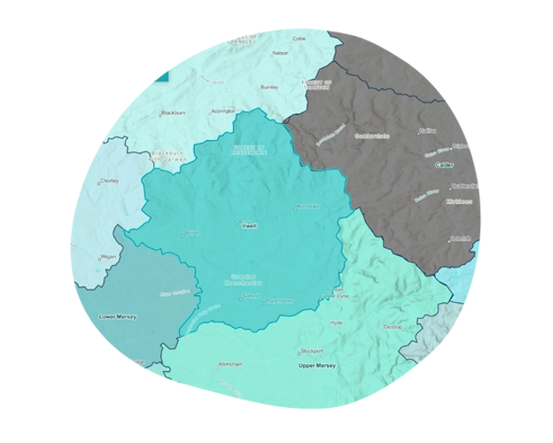
The Upper Mersey Catchment covers the upper part of the freshwater River Mersey and its source tributaries (the Tame, Goyt and Etherow) that flow from the Peak District. It covers a large part of Greater Manchester and parts of the High Peak and Cheshire East local authority areas.
The River Mersey starts at the confluence of the River Tame and River Goyt in Stockport, before flowing through south Manchester and Trafford. It is joined in Trafford by another key tributary, the River Bollin, flowing west towards the Lower Mersey near Lymm.
Subscribe to our newsletter.
Keep up to date with the latest news, events and projects from Mersey Rivers Trust. Choose which newsletters you would like to receive and sign up today!

For more information about Catchment Partnerships, including interactive maps and data, visit:
www.catchmentbasedapproach.org
![]()