Welcome to the CaBA Hub
The Government introduced the Catchment-Based Approach (CaBA) for managing the water environment across all areas of England to facilitate more integrated water management.
Government policy has established catchment partnerships throughout England that work collaboratively with local stakeholders. The primary aims of these partnerships are to jointly deliver improved water quality through River Basin Management Plans and to reduce flood risk.
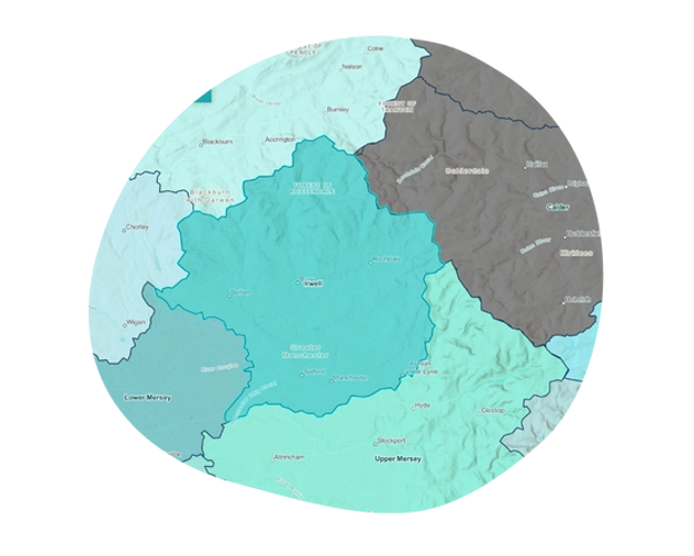
Catchment Areas
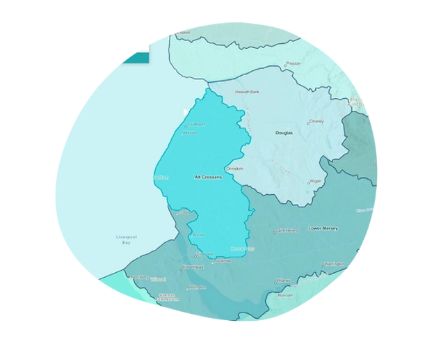

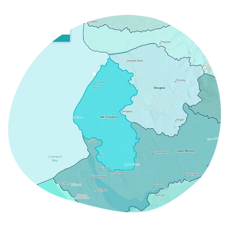
Alt/Crossen
The Government introduced the Catchment-Based Approach (CaBA) for managing the water environment across all areas of England to facilitate more integrated water management.
Government policy has established catchment partnerships throughout England that work collaboratively with local stakeholders. The primary aims of these partnerships are to jointly deliver improved water quality through River Basin Management Plans and to reduce flood risk.
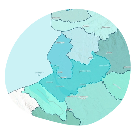
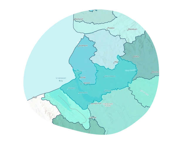
Lower Mersey
The Lower Mersey catchment covers the lower section of the River Mersey as it flows from the Upper Mersey to the Mersey Estuary and to sea at Liverpool. This catchment includes the Manchester Ship Canal.
The Mersey Estuary catchment covers the Wirral peninsular to the south of the River Mersey and from Hightown to Warrington to the North of the River. The catchment is split into four operational sub-catchments, which are Ditton, Sankey, Glaze and Wirral.
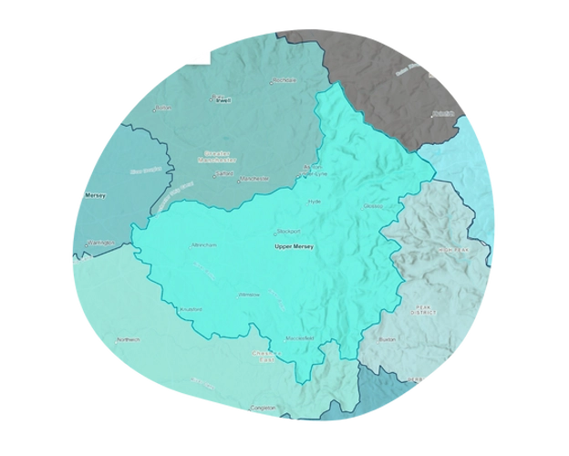
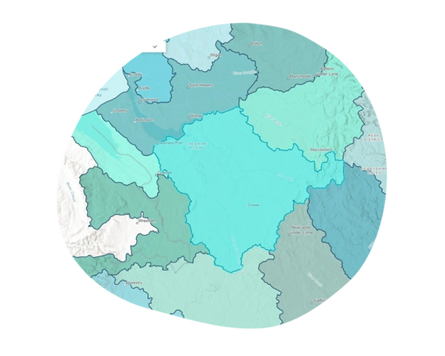
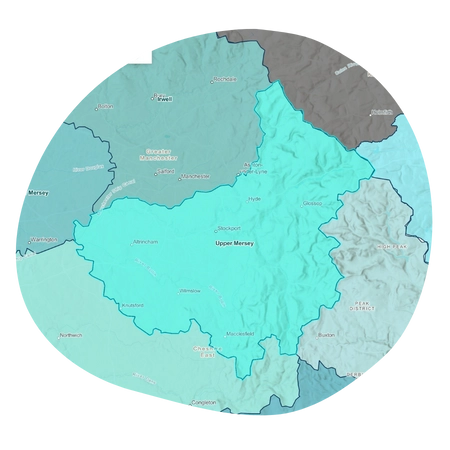
Upper Mersey
The Upper Mersey Catchment covers the upper part of the the River Mersey and its source tributaries that flow from the peak district.
The Mersey takes its name at the confluence of the tributary Rivers Tame and Goyt in Stockport, is joined along the way by another tributary, the River Bollin, and flows west towards the lower Mersey.
Subscribe to our newsletter.
Keep up to date with the latest news, events and projects from Mersey Rivers Trust. Choose which newsletters you would like to receive and sign up today!
